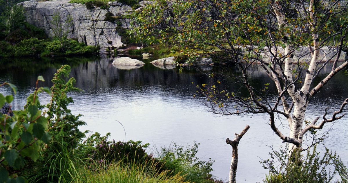
I still remember the first moment I set foot in malham cove malham , a peaceful little village tucked away in the Yorkshire Dales. There was something about that walk that instantly told me this was going to be one of the most memorable short walks in the north of England.
England, packed with standout landmarks such as Malham Cove, a limestone amphitheatre that rises 70 to 80 metres above the valley floor, the woodland waterfall at Janet’s Foss, the sheer ravine of Gordale Scar, and the glacial lake called Malham Tarn, resting quietly on the moors above.
Locals often call this stretch the malham cove malham circular route, and it usually runs between five and eight miles, taking around two to four hours depending on your pace and how often you pause for the dramatic scenery. The route stays popular all year, gets especially busy in summer, and still manages to surprise me with hidden corners and spectacular geology that pull crowds from across the country, which explains why these walks remain some of the finest in the region.
Getting There and Parking
Malham village sits at the centre of the local walking network, and the National Park Visitor Centre car park works as the usual starting point, with parking that costs £3 for up to two hours and £5 for longer stays, plus annual passes and seven-day tickets for regulars. On busier days the field opposite turns into an overflow space, and I always tell friends that roadside parking along the lane into the village, with a suggested £2 donation, can save money and keep things quieter in the wider area.
Summer weekends get genuinely busy, so arriving early or going midweek gives a much quieter experience, and your small donation also helps maintain the paths everyone relies on.
Visitor Centre and Facilities
The National Park Visitor Centre stays open from 10am to 5pm on most days, and inside you will find a small gift shop along with a picnic area that makes a nice stop before or after the walk. There is drinking water for both visitors and dogs, and the public toilets sit right in the heart of the village, asking only a 20p donation to stay running. These small facilities stay well maintained, and honestly, having clean toilets and water taps in the village makes a longer day on the trail far more comfortable.
Walking Distances From the Village malham cove malham
Once you stand in malham cove malham, every one of the key landmarks sits within easy reach of the village centre: Malham Cove is about 1 mile away, Janet’s Foss sits roughly 1¼ miles out, and Gordale Scar is about 1¾ miles along the same general direction. You can reach the village by a firm road surface or take the more scenic woodland path that runs alongside it, and both routes stay clearly signposted the whole way. Knowing these distances in advance helps you plan your day properly, especially if you want to fit in more than one stop before heading back.
Janet’s Foss
Janet’s Foss is a National Trust site tucked inside small woods near Malham village, reached along a gravel footpath and a flagged footpath that follow the stream down from the village, and the name itself comes from an old Scandinavian word for waterfall, simply shortened to Foss. Local legend says Janet, the Queen of the Fairies, once lived in a cave behind the falls, and depending on the season you might walk through a woodland filled with wild garlic or a carpet of bluebells.
Along the way stands a wish tree, where people have followed an old custom of pressing coins into fallen trees for hundreds of years, once believed to cure illness, though the outdoor community now asks visitors to leave living trees alone; nearby the water also draws keen birdwatching fans, since dippers, grey wagtails, and white wagtails count among the species seen here.
Gordale Scar
From Janet’s Foss, a lane and then a wide gravel track lead to Gordale Scar, a limestone ravine with towering, overhanging cliffs that climbers love, and the place carries real artistic history, since it inspired an 1818 sonnet by William Wordsworth and a famous painting by J.M.W. Turner. A second painting, by James Ward, now hangs in Tate Britain, and the whole scene feels properly dramatic once you stand under the rock face.
Geologically, the gorge formed through glacial activity: over 1.5 million years, three ice sheets covered the wider Malham landscape, and as each one melted, the meltwater carved this gorge, while a quiet footpath on the far side still leads you up onto Malham Tarn for those who want to extend the walk.
malham cove malham ?
If you only have time for one stop “on this malham cove malham route, make it here: Malham Cove” is the headline attraction, a sheer limestone cliff face standing roughly 70 to 80 metres high, and most people agree it instantly explains why the village pulls so many visitors; geologists believe a waterfall once flowed over this edge and curved rock face, and remarkably it can still happen, since after heavy rainfall the cove has briefly reactivated as an unbroken waterfall, most famously in December 2015 when it briefly became the tallest in England, a record now held by Hardraw Force in Wensleydale, with another wet spell around 2012 also caught on video.
Climbing the flight of steps somewhere between 330 and 400 steps and takes you up the drop beside the cove, past the base where the water sits clear enough to see through, and on a clear day the dramatic views stretch toward the horizon and as far as Pendle Hill; stay well back from the cliff edge, since families with children and dogs should keep a safe yards distance, even while climbers test their ropes on the rock nearby.
Above it all sits the limestone pavement, with malham cove malham village visible behind you, and nature lovers should know that peregrine falcons have nested here since 1993, sharing the cliffs with green woodpeckers, redstarts, and house martins, all within roughly 40 to 50 metres of the busiest viewpoints.
The Limestone Pavement
At the top of Malham Cove lies one of the best-known limestone pavements in Britain, made of flat, fractured slabs of rock shaped by glacial movement over thousands of years, with the blocks known locally as clints and the gaps between them called grikes. Ferns grow well inside the grikes, sheltered from grazing, alongside other species of lime-loving plants, though the surface stays uneven and turns properly slippery when wet, so sturdy footwear and basic care matter here.
Film fans often recognise this exact scene as the film location used in Harry Potter and the Deathly Hallows Part 1, where Harry and Hermione pitch their tent right here on the stones.
Malham Tarn
Above the Cove, the route can stretch further out to Malham Tarn, a glacial lake that makes a genuinely popular spot for a longer walk. This Tarn connects nicely with Gordale Scar and Malham Cove as part of the wider circular route, tying the whole day together. Some people choose to pass through a section locally known as Dry Valley on the way between the two.
Where to Eat and Drink
malham cove malham village has plenty of good options for food and drink, mostly close to the car park: Beck Hall, originally a yeoman’s cottage built in 1705, now serves meals, drinks, and afternoon tea, with proper streamside dining.
The Buck Inn counts as the long-standing village pub, while The Lister Arms, just over the bridge from the village centre, picked up the title of Yorkshire’s Favourite Pub in 2019 and stays genuinely dog-friendly. The Old Barn Tea Room rounds things off near the car park, and a small shop in the village sells Kendal Mint Cake alongside artisan shops offering ironwork and other local crafts.
Visitor Guidelines
A few simple rules apply across the Malham Tarn Estate and the surrounding paths: keep dogs on a lead at all times. Don’t fly drones without permission, and avoid barbecues or open fires anywhere on the land. Take all your litter home with you, since these small habits keep the area looking as good for the next visitor as it did for you.
FAQs About malham cove malham
Is malham cove malham Cove in Harry Potter?
Yes “malham cove malham” the limestone pavement atop Malham Cove was used as a filming location in Harry Potter and the Deathly Hallows: Part 1, where Harry and Hermione camp during their journey. It’s become a beloved spot for film fans to visit.
Where can I park near Malham Cove?
There’s a pay-and-display car park in Malham village, run by the Yorkshire Dales National Park Authority. From there, it’s a pleasant walk of roughly 1 mile (about 20–25 minutes) to reach the cove.
What is the Malham Cove walk like?
The walk from Malham village follows the Pennine Way along a gentle riverside path beside Malham Beck, before a set of stone steps leads up to the limestone pavement on top. Many walkers extend the route to include Malham Tarn or Gordale Scar for a fuller day out.
Does Malham Cove have a waterfall?
Historically, water once cascaded over the cliff face, but today it’s typically dry, except after very heavy rainfall, when a temporary waterfall can dramatically reappear a rare and memorable sight for visitors.
What is Malham Tarn?
Malham Tarn is a glacial lake sitting above Malham Cove, one of the highest freshwater lakes in England and a haven for wildlife and birdwatchers.
What is Malham village like?
Malham is a small, charming Dales village with cosy tea rooms, traditional pubs, and welcoming bed & breakfasts a perfect, peaceful base for exploring the surrounding countryside.